
100 Famous Japanese Mountains: Kyuya Fukada's Iconic Peaks
MAP ・ 100 SPOTS
100 Famous Japanese Mountains: Kyuya Fukada's Iconic Peaks
Here are the 100 peaks chosen by mountaineer and author Kyuya Fukada for his classic book '100 Famous Japanese Mountains' (Nihon Hyakumeizan), arranged from north to south. His selection criteria were grace, history, and distinct personality. As a rule, he included mountains over 1,500 meters that he had summited himself—with exceptions for Mount Tsukuba (877m) and Mount Kaimon (924m) due to their striking presence despite their lower elevation. This isn't a walking route, but an overview to trace how these iconic peaks shape the Japanese archipelago.
2026.09.12
·Total ~5,188km
SPOT
Mount Rishiri
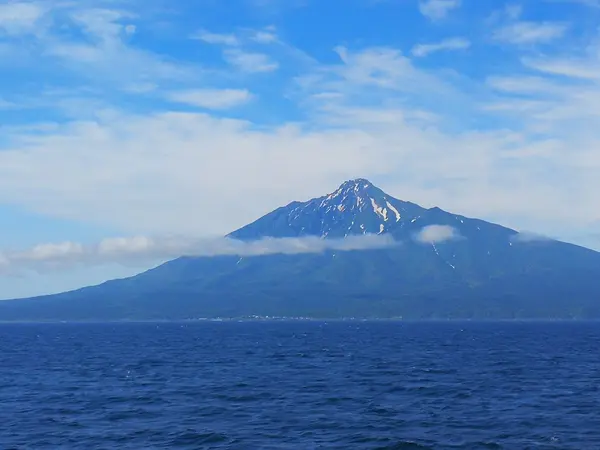
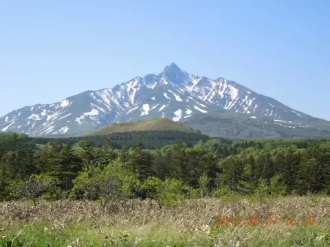
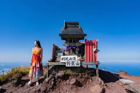
Hokkaido / 1,721 m | A solitary peak soaring directly out of the ocean on Rishiri Island.
〒097-0211 北海道利尻郡利尻富士町鬼脇 利尻山(利尻富士)
SPOT
Mount Rausu
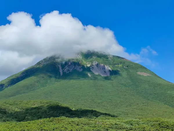
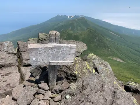
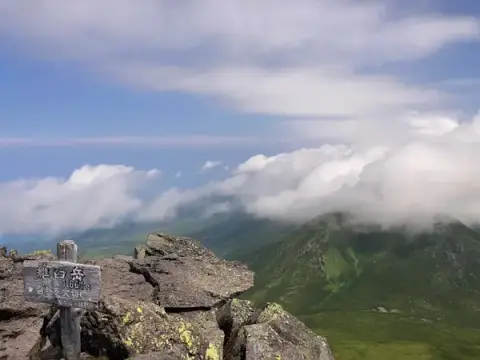
Hokkaido / 1,660 m | The highest peak on the Shiretoko Peninsula, encompassed entirely within a UNESCO World Heritage site.
〒086-1822 北海道目梨郡羅臼町湯ノ沢町 羅臼岳
SPOT
Mount Shari
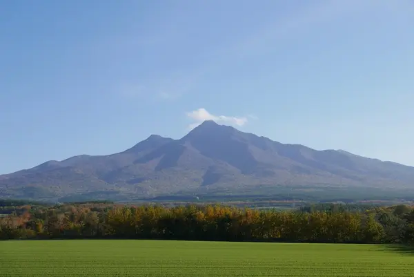
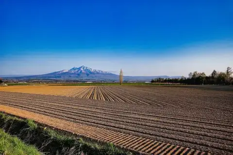
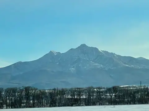
Hokkaido / 1,547 m | Located at the base of the Shiretoko Peninsula, its summit marks the meeting point of three towns.
〒099-4404 北海道斜里郡清里町江南 斜里岳
SPOT
Mount Akan
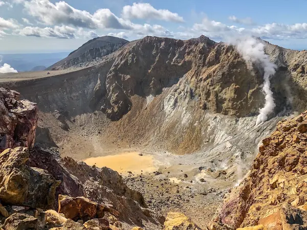
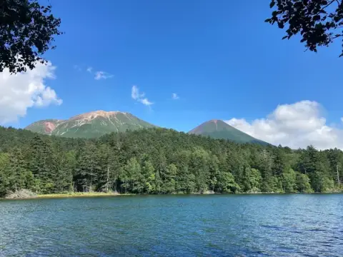
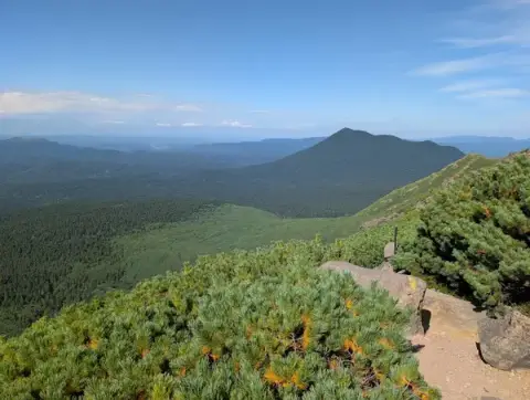
Hokkaido / 1,499 m | A volcanic group southwest of Akan Caldera, forming 'Mount Akan' alongside Mount Meakan and Mount Oakan.
〒089-3964 北海道足寄郡足寄町茂足寄 雌阿寒岳
SPOT
Daisetsuzan
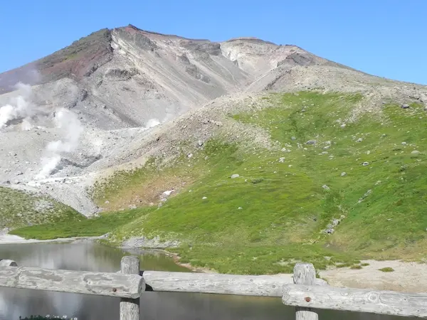
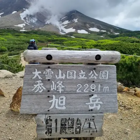
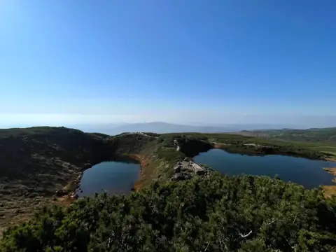
Hokkaido / 2,291 m | A volcanic group centered around Mount Asahi, Hokkaido's highest peak. Fumaroles hiss in Jigokudani on its western slope.
〒071-1471 北海道上川郡東川町ノカナン 大雪山
SPOT
Mount Tomuraushi
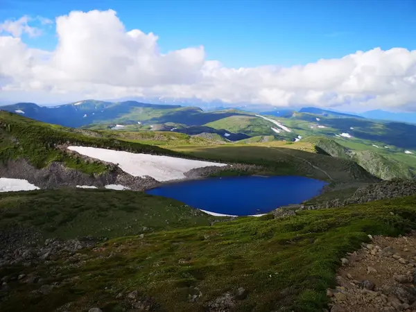
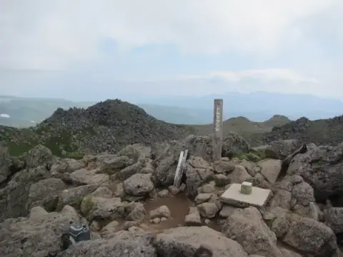
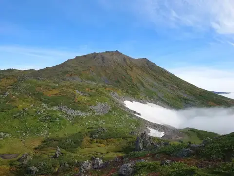
Hokkaido / 2,141 m | Nestled deep in the Daisetsuzan range, this vast, wild alpine area was known in Ainu lore as the 'Playground of the Gods.'
〒071-0235 北海道上川郡美瑛町白金 トムラウシ山
SPOT
Mount Tokachi
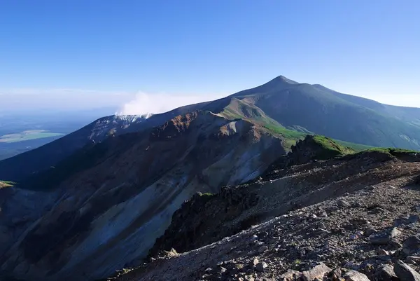
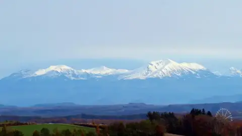
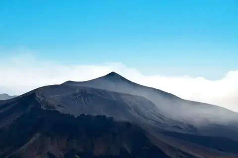
Hokkaido / 2,077 m | The principal peak of the Tokachi volcanic range and a very active volcano to this day.
〒071-0235 北海道上川郡美瑛町白金 十勝岳
SPOT
Mount Poroshiri
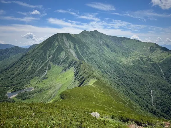
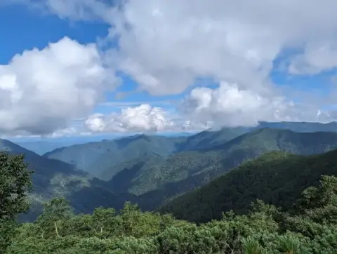
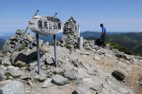
Hokkaido / 2,052 m | The highest mountain in the rugged Hidaka Range, standing just west of the main ridgeline.
〒059-2422 北海道新冠郡新冠町岩清水 幌尻岳
SPOT
Mount Yotei
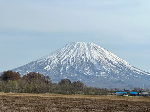
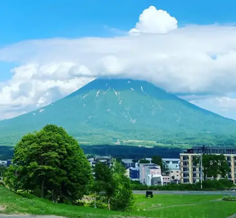
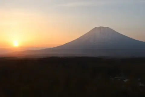
Hokkaido / 1,898 m | Often called 'Ezo Fuji' for its striking resemblance to Mount Fuji. It's the highest peak in southwestern Hokkaido.
〒044-0131 北海道虻田郡京極町川西 羊蹄山
SPOT
Mount Iwaki
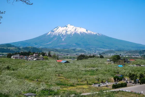
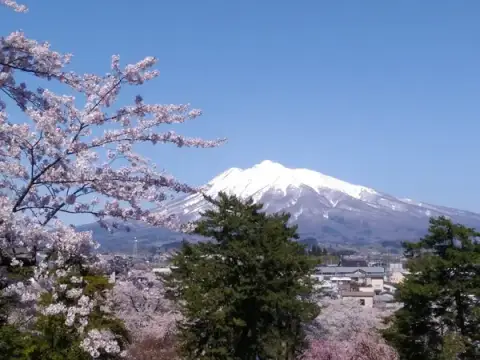
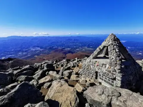
Aomori / 1,625 m | Aomori's tallest peak, fondly known locally as 'O-Iwaki-san' or 'Tsugaru Fuji' for its lovely conical profile.
〒036-1343 青森県弘前市百沢東岩木山 岩木山
SPOT
Hakkoda Mountains
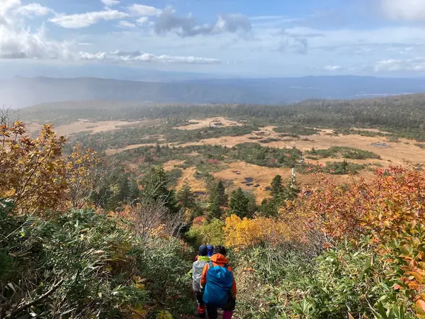
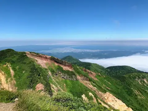
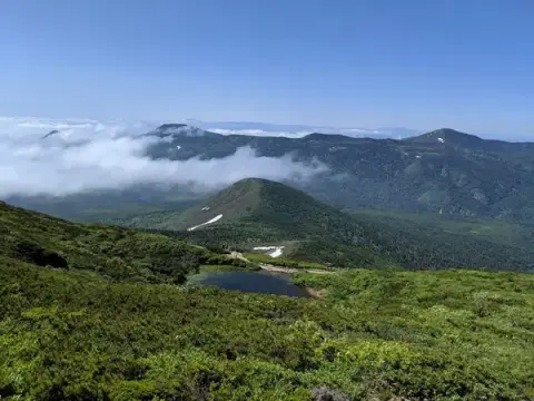
Aomori / 1,584 m | Not a single peak, but a collective name for 18 volcanic peaks led by Odake.
〒030-0955 青森県青森市駒込深沢 八甲田山
SPOT
Hachimantai
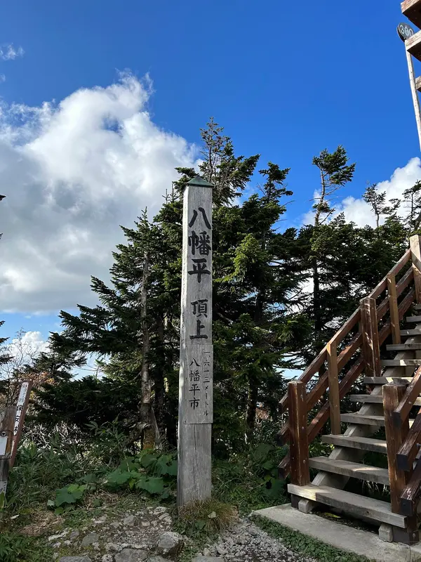
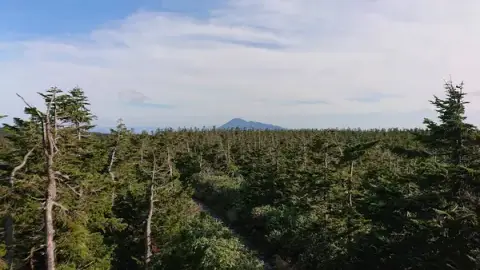
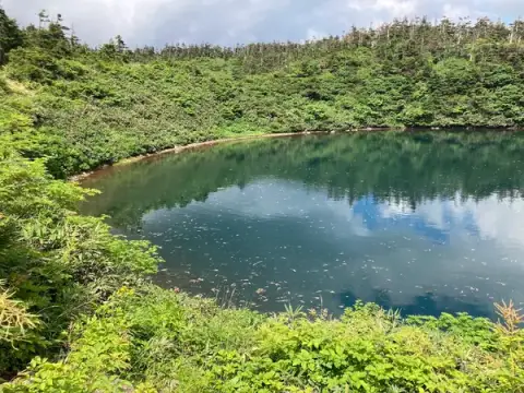
Iwate & Akita / 1,614 m | More of a sprawling highland plateau than a mountain, crowned by a broad, gentle summit plateau.
〒028-7557 岩手県八幡平市細野
SPOT
Mount Iwate
Iwate / 2,038 m | The highest peak in Iwate. A stratovolcano with double calderas, also cherished as 'Nanbu Fuji.'
〒028-7302 岩手県八幡平市松尾寄木 岩手山
SPOT
Mount Hayachine
Iwate / 1,917 m | The highest point in the Kitakami Mountains, renowned for its rare endemic alpine flowers.
〒028-2421 岩手県宮古市江繋 早池峰山
SPOT
Mount Chokai
Akita & Yamagata / 2,236 m | Nicknamed 'Dewa Fuji' because its snow-covered slopes mirror Mount Fuji. The true summit lies on the Yamagata side.
〒999-8521 山形県飽海郡遊佐町吹浦 鳥海山
SPOT
Mount Gassan
Yamagata / 1,984 m | One of the sacred Three Mountains of Dewa (Dewa Sanzan). Snow clings to its slopes well into summer.
〒997-0131 山形県鶴岡市羽黒町川代 月山
SPOT
Mount Asahi
Yamagata & Niigata / 1,870 m | Dainichi-dake and Oasahi-dake anchor this deep, rugged range known for its long, winding ridges.
〒990-1573 山形県西村山郡朝日町立木 大朝日岳
SPOT
Mount Zao
Miyagi & Yamagata / 1,841 m | Refers to the Zao Range, topped by Kumano-dake. Famous worldwide for its spectacular winter 'snow monsters' (frost-covered trees).
〒990-2301 山形県山形市蔵王温泉 蔵王山
SPOT
Mount Iide
Yamagata, Fukushima & Niigata / 2,128 m | The main peak of the Iide Mountains. Packed with alpine wildflowers, tackling this remote range usually takes multiple days.
〒969-4108 福島県喜多方市山都町一ノ木 飯豊山
SPOT
Mount Azuma
Yamagata & Fukushima / 2,035 m | Topped by Nishi-Azuma. It is the second-tallest peak in the entire Ou Mountains after Mount Iwate.
〒966-0501 福島県耶麻郡北塩原村檜原 西吾妻山
SPOT
Mount Adatara
Fukushima / 1,709 m | Marking the southern edge of Bandai-Asahi National Park, its summit plateau features a distinct rocky knob.
〒963-1301 福島県郡山市熱海町石筵黒森 安達太良山
SPOT
Mount Bandai
Fukushima / 1,816 m | Known as 'Aizu Fuji' from the south, though its northern face collapsed dramatically in a massive 1888 eruption.
〒969-3100 福島県耶麻郡猪苗代町 磐梯山
SPOT
Mount Aizukoma
Fukushima / 2,133 m | Formed by an uplifted plateau that eroded over time, leaving serene alpine ponds and marshlands near the top.
〒967-0500 福島県南会津郡檜枝岐村駒ケ岳 会津駒ヶ岳
SPOT
Mount Nasu
Fukushima & Tochigi / 1,917 m | Broadly refers to the Nasu volcanic group, and specifically to its smoking main peak, Mount Chausu.
〒325-0111 栃木県那須塩原市板室 那須岳
SPOT
Mount Echigo-Komagatake
Niigata / 2,003 m | Also called Uonuma-Komagatake. One of the famed three peaks of Echigo.
〒949-7234 新潟県南魚沼市荒山 越後駒ヶ岳
SPOT
Mount Tairappo
Niigata & Gunma / 2,141 m | True to its name (meaning 'flat mountain'), the summit is remarkably level. Deep in the wilderness, it is a tough day hike.
〒946-0084 新潟県魚沼市宇津野 平ヶ岳
SPOT
Mount Makihata
Niigata & Gunma / 1,967 m | Part of the Mikuni Mountains. Its name originates from ancient weaving folklore associated with the mountain.
〒949-6754 新潟県南魚沼市永松 巻機山
SPOT
Mount Hiuchigatake
Fukushima / 2,356 m | The highest peak in northeastern Japan (Tohoku). Lake Ozenuma rests peacefully at its southern base.
〒967-0531 福島県南会津郡檜枝岐村燧ケ岳 燧ヶ岳
SPOT
Mount Shibutsu
Gunma / 2,228 m | Rising at the western edge of the Ozegahara wetlands, facing Hiuchigatake across the marsh.
〒378-0411 群馬県利根郡片品村戸倉 至仏山
SPOT
Mount Tanigawa
Niigata & Gunma / 1,977 m | Famous for its twin peaks, Toma-no-mimi and Oki-no-mimi, as well as its notoriously unpredictable weather.
〒379-1728 群馬県利根郡みなかみ町湯桧曽 谷川岳
SPOT
Mount Amakazari
Niigata & Nagano / 1,963 m | Marking the western flank of the Kubiki Range, known for its distinctive pyramid-shaped rock crown.
〒949-0544 新潟県糸魚川市梶山 雨飾山
SPOT
Mount Naeba
Niigata & Nagano / 2,145 m | Features a massive, 4-square-kilometer peat wetland at its summit dotted with sparkling alpine ponds.
〒949-6212 新潟県南魚沼郡湯沢町三国 苗場山
SPOT
Mount Myoko
Niigata / 2,454 m | The highest of the Five Peaks of Northern Shinano (Hokushin Gogaku), featuring a central lava dome ringed by caldera walls.
〒949-2235 新潟県妙高市関山 妙高山
SPOT
Mount Hiuchi
Niigata / 2,462 m | The highest mountain in the Kubiki Massif, famed for the idyllic wetlands around Koya Pond.
〒949-1223 新潟県糸魚川市中川原新田 火打山
SPOT
Mount Takatsuma
Niigata & Nagano / 2,353 m | The highest summit in the Togakushi Range. Ancient stone shrines dot the trail from its days as a sacred ascetic training ground.
〒381-4101 長野県長野市戸隠 高妻山
SPOT
Mount Nantai
Tochigi / 2,486 m | The sacred symbol of Nikko. Lava flows from this ancient volcano dammed the valley to form Lake Chuzenji.
〒321-1661 栃木県日光市中宮祠 男体山
SPOT
Mount Nikko-Shirane
Tochigi & Gunma / 2,578 m | The highest mountain in eastern Japan north of the Kanto plain, still classified as an active volcano.
〒378-0414 群馬県利根郡片品村東小川 日光白根山
SPOT
Mount Sukai
Tochigi & Gunma / 2,144 m | The chief peak of the Ashio Mountains. An ancient volcano heavily eroded by time, its slopes are now cloaked in deep forest.
〒378-0303 群馬県沼田市利根町追貝 皇海山
SPOT
Mount Hotaka (Gunma)
Gunma / 2,158 m | Known locally as Joshu Hotaka to distinguish it from the Hotaka Range in the Northern Alps.
〒378-0102 群馬県利根郡川場村川場湯原 武尊山
SPOT
Mount Akagi
Gunma / 1,828 m | A sprawling volcanic massif enclosing a crater lake, rather than a single standalone peak.
〒371-0101 群馬県前橋市富士見町赤城山 赤城山
SPOT
Mount Kusatsu-Shirane
Gunma / 2,171 m | Officially Mount Shirane, prefixed with 'Kusatsu' to differentiate it from others. Known for its turquoise crater lake, Yugama.
〒377-1711 群馬県吾妻郡草津町草津 草津白根山
SPOT
Mount Azumaya
Gunma & Nagano / 2,354 m | Straddles the Gunma-Nagano border. The summit offers breathtaking panoramic views across central Japan.
〒377-1614 群馬県吾妻郡嬬恋村田代 四阿山
SPOT
Mount Asama
Gunma & Nagano / 2,568 m | A prominent, highly active complex volcano with a classic cone shape and a dramatic caldera.
〒377-1524 群馬県吾妻郡嬬恋村鎌原 浅間山
SPOT
Mount Tsukuba
Ibaraki / 877 m | Features twin peaks, Nantai and Nyotai. At just 877 meters, it is the lowest mountain in the Hyakumeizan list.
〒300-4352 茨城県つくば市筑波 筑波山
SPOT
Mount Shirouma
Nagano & Toyama / 2,932 m | Anchoring the northern Ushiro-Tateyama Range, celebrated for its massive perennial snow ravine (Daisekkei).
〒399-9301 長野県北安曇郡白馬村北城 白馬岳
SPOT
Mount Goryu
Nagano & Toyama / 2,814 m | A rugged, craggy summit named after the Takeda family crest (Takeda-bishi) that appears in its spring snowmelt.
富山県黒部市宇奈月町音澤 五竜岳
SPOT
Mount Kashimayari
Nagano & Toyama / 2,889 m | A magnificent double-peaked mountain considered the grand centerpiece of the Ushiro-Tateyama Range.
〒398-0001 長野県大町市平 鹿島槍ヶ岳
SPOT
Mount Tsurugi
Toyama / 2,999 m | A jagged fortress of rock falling just one meter shy of the 3,000-meter mark. Its mountaineering history is legendary.
〒930-1406 富山県中新川郡立山町芦峅寺 剱岳
SPOT
Mount Tate
Toyama / 3,015 m | A sacred trinity of peaks (Oyama, Onanjiyama, and Fujinooritate) revered for centuries as a center of mountain worship.
〒930-1406 富山県中新川郡立山町芦峅寺 立山
SPOT
Mount Yakushi
Toyama / 2,926 m | Dominating the western flank of the Northern Alps, featuring colossal glacial cirques along its eastern face.
〒930-1458 富山県富山市有峰 薬師岳
SPOT
Mount Kurobegoro
Toyama & Gifu / 2,840 m | Affectionately nicknamed 'Kuro-go,' celebrated for the huge glacial amphitheater hollowed out right below its summit.
〒930-1458 富山県富山市有峰 黒部五郎岳
SPOT
Mount Suisho
Toyama / 2,986 m | Also called Kurodake. Located in the deepest recesses of the Northern Alps, requiring a serious trek no matter the approach.
〒930-1458 富山県富山市有峰 水晶岳
SPOT
Mount Washiba
Nagano & Toyama / 2,924 m | Hidden deep in the heart of the Northern Alps, with the emerald crater pool of Washiba Pond nestled on its southern flank.
〒930-1458 富山県富山市有峰 鷲羽岳
SPOT
Mount Yari
Nagano & Gifu / 3,180 m | Japan's 5th highest peak, nicknamed the 'Matterhorn of Japan' for its iconic spearhead summit, first ascended by the monk Banryu.
〒398-0001 長野県大町市平 槍ヶ岳
SPOT
Mount Hotaka
Nagano & Gifu / 3,190 m | Centered around Oku-Hotakadake, this rugged crest forms the third-highest mountain group in Japan.
〒390-1516 長野県松本市安曇 穂高岳
SPOT
Mount Jonen
Nagano / 2,857 m | The standout triangular peak seen standing guard over the Azumino valley.
〒390-1516 長野県松本市安曇 常念岳
SPOT
Mount Kasagatake
Gifu / 2,897 m | Situated on the Gifu side of the Northern Alps, named for its silhouette resembling an inverted woven conical hat (kasa).
〒506-1308 岐阜県高山市上宝町金木戸 笠ヶ岳
SPOT
Mount Yake
Nagano & Gifu / 2,455 m | An active volcano looming over Kamikochi. Its 1915 eruption dammed the Azusa River, creating the famous Taisho Pond.
〒390-1516 長野県松本市安曇 焼岳
SPOT
Mount Norikura
Nagano & Gifu / 3,026 m | A cluster of peaks led by Kengamine. It is famously accessible high up its slopes via scenic shuttle bus.
〒506-2254 岐阜県高山市丹生川町岩井谷 乗鞍岳
SPOT
Mount Ontake
Nagano & Gifu / 3,067 m | Japan's second-tallest volcano after Mount Fuji. A massive solitary peak steeped in sacred pilgrimage traditions.
〒397-0201 長野県木曽郡王滝村 御嶽山
SPOT
Utsukushigahara
Nagano / 2,034 m | More of a sweeping plateau than a steep mountain, home to rolling pastures accessible by car.
〒390-0222 長野県松本市入山辺 美ヶ原
SPOT
Kirigamine
Nagano / 1,925 m | A gentle volcanic highland that turns into a lush green carpet of alpine grasses and daylilies each summer.
〒392-0012 長野県諏訪市四賀 霧ヶ峰
SPOT
Mount Tateshina
Nagano / 2,530 m | Standing at the northern end of the Yatsugatake range, called 'Suwa Fuji' for its neat conical shape when seen from Lake Suwa.
〒384-2309 長野県北佐久郡立科町芦田八ケ野 蓼科山
SPOT
Yatsugatake
Nagano & Yamanashi / 2,899 m | Not a single summit, but a volcanic massif stretching north to south with dramatic contrasting scenery.
〒399-0212 長野県諏訪郡富士見町立沢 八ヶ岳
SPOT
Mount Ryokami
Saitama / 1,723 m | Located in northern Okuchichibu, this craggy peak is one of the three sacred mountains of Chichibu.
〒368-0201 埼玉県秩父郡小鹿野町両神薄 両神山
SPOT
Mount Kumotori
Saitama, Tokyo & Yamanashi / 2,017 m | The highest mountain in Tokyo, standing at the tri-border of Tokyo, Saitama, and Yamanashi.
〒369-1901 埼玉県秩父市大滝 雲取山
SPOT
Mount Kobushi
Saitama, Nagano & Yamanashi / 2,475 m | Named because it joins the three ancient provinces of Kai (Koushu), Musashi (Bushu), and Shinano (Shinshu).
〒404-0201 山梨県山梨市三富川浦 甲武信ヶ岳
SPOT
Mount Kinpu
Nagano & Yamanashi / 2,599 m | Famous for the Gojo-iwa, a colossal natural stone tower perched dramatically on its summit.
〒384-1401 長野県南佐久郡川上村川端下 金峰山
SPOT
Mount Mizugaki
Yamanashi / 2,230 m | Celebrated for its unique, otherworldly forest of granite pillars and historic mountain-ascetic carvings.
〒408-0101 山梨県北杜市須玉町小尾 瑞牆山
SPOT
Mount Daibosatsu
Yamanashi / 2,057 m | Also known as Daibosatsu-rei. The historic mountain pass lies about two kilometers south of the summit.
〒409-0300 山梨県北都留郡丹波山村 大菩薩嶺
SPOT
Mount Tanzawa
Kanagawa / 1,673 m | A key peak along the Tanzawa main ridge, widely loved by hikers thanks to its easy access from Tokyo.
〒258-0202 神奈川県足柄上郡山北町玄倉 丹沢山
SPOT
Mount Fuji
Yamanashi & Shizuoka / 3,776 m | Japan's highest and most revered peak. Its true summit point is Kengamine on the crater rim at 3,776 meters.
〒418-0112 静岡県富士宮市北山 富士山
SPOT
Mount Amagi
Shizuoka / 1,405 m | A volcanic mountain range spanning east-west across central Izu Peninsula, topped by Mount Bansaburo.
〒413-0301 静岡県賀茂郡東伊豆町大川 天城山
SPOT
Mount Kisokoma
Nagano / 2,956 m | The highest point in the Central Alps. A ropeway whisks visitors straight up into the stunning Senjojiki Cirque.
〒399-5608 長野県木曽郡上松町荻原 木曽駒ヶ岳
SPOT
Mount Utsugi
Nagano / 2,864 m | The second-highest peak in the Central Alps, renowned for its bright white granite boulders and ridges.
〒399-4117 長野県駒ヶ根市赤穂 空木岳
SPOT
Mount Ena
Nagano & Gifu / 2,191 m | Anchoring the southern terminus of the Central Alps, woven deeply into regional myths and folklore.
〒508-0001 岐阜県中津川市中津川 恵那山
SPOT
Mount Kaikoma
Yamanashi & Nagano / 2,967 m | The bold northern anchor of the Southern Alps, rising steeply like an independent white pyramid.
〒396-0403 長野県伊那市長谷黒河内 甲斐駒ヶ岳
SPOT
Mount Senjo
Yamanashi & Nagano / 3,033 m | Revered as the 'Queen of the Southern Alps' for its graceful ridgelines sheltering three glacial cirques.
〒400-0241 山梨県南アルプス市芦安芦倉 仙丈ヶ岳
SPOT
Mount Houou
Yamanashi / 2,840 m | A collective name for Mount Jizo, Mount Kannon, and Mount Yakushi. An imposing natural granite obelisk crowns Jizo.
〒400-0241 山梨県南アルプス市芦安芦倉 鳳凰山
SPOT
Mount Kita
Yamanashi / 3,193 m | Japan's second-highest summit, and the highest non-volcanic peak in the country.
〒400-0241 山梨県南アルプス市芦安芦倉 北岳
SPOT
Mount Aino
Yamanashi & Shizuoka / 3,190 m | Tied with Oku-Hotakadake as Japan's third-tallest peak, resting midway along the massive ridge connecting Mount Kita and Mount Notori.
〒400-0241 山梨県南アルプス市芦安芦倉 間ノ岳
SPOT
Mount Shiomi
Nagano & Shizuoka / 3,052 m | A double summit with east and west peaks, proudly dominating the very center of the Southern Alps.
〒396-0406 長野県伊那市長谷杉島 塩見岳
SPOT
Mount Warusawa
Nagano & Shizuoka / 3,141 m | The highest of the Arakawa Three Peaks (Arakawa Sanzan), also known as Higashidake.
〒428-0505 静岡県静岡市葵区田代 荒川岳
SPOT
Mount Akaishi
Nagano & Shizuoka / 3,120 m | The prominent namesake peak of the Akaishi Mountain Range (Southern Alps), featuring red radiolarian chert rocks.
〒428-0505 静岡県静岡市葵区田代 赤石岳
SPOT
Mount Hijiri
Nagano & Shizuoka / 3,013 m | Japan's southernmost mountain exceeding 3,000 meters in height.
〒399-1401 長野県飯田市南信濃木沢 聖岳
SPOT
Mount Tekari
Nagano & Shizuoka / 2,591 m | The southernmost peak in the Southern Alps; no higher mountains exist in Japan south of here.
〒399-1401 長野県飯田市南信濃木沢 光岳
SPOT
Mount Haku
Gifu & Ishikawa / 2,702 m | One of Japan's Three Sacred Mountains alongside Fuji and Tateyama, and the crown jewel of the Kaetsu range.
〒920-2333 石川県白山市尾添 白山
SPOT
Mount Arashima
Fukui / 1,523 m | The only Hyakumeizan in Fukui Prefecture. A lovely solitary peak also known as 'Ono Fuji.'
〒912-0153 福井県大野市仏原 荒島岳
SPOT
Mount Ibuki
Gifu & Shiga / 1,377 m | The highest point in the Ibuki Mountains, famous for massive winter snowfalls blown in from the Sea of Japan.
〒521-0312 滋賀県米原市上野 伊吹山
SPOT
Mount Odaigahara
Mie & Nara / 1,695 m | One of the wettest places in all of Japan, fostering an enchanting, moss-draped primeval forest.
〒519-2634 三重県多気郡大台町大杉 大台ヶ原山
SPOT
Mount Omine
Nara / 1,915 m | Specifically Hakkyogatake, the highest peak in Nara and the entire Kansai region, steeped in ancient Shugendo ascetic practices.
〒639-3703 奈良県吉野郡上北山村白川 八経ヶ岳
SPOT
Mount Daisen
Tottori / 1,729 m | The tallest peak in Tottori and the Chugoku region. When viewed from the west, its conical silhouette earns it the name 'Hoki Fuji.'
〒689-3318 鳥取県西伯郡大山町 大山
SPOT
Mount Tsurugi (Tokushima)
Tokushima / 1,955 m | Tokushima's highest mountain and one of only two peaks selected from Shikoku.
〒778-0201 徳島県三好市東祖谷菅生 剣山
SPOT
Mount Ishizuchi
Ehime / 1,982 m | The highest mountain in western Japan. A sacred mountain famous for its thrilling climbing routes along heavy iron chains.
〒791-1710 愛媛県上浮穴郡久万高原町若山 石鎚山
SPOT
Mount Kuju
Oita / 1,791 m | Part of the Kuju Mountain Range; its peak, Nakadake, is the highest point on the island of Kyushu.
〒878-0202 大分県竹田市久住町大字有氏 くじゅう連山
SPOT
Mount Sobo
Oita & Miyazaki / 1,756 m | Miyazaki Prefecture's tallest peak, forming the rugged core of the Kyushu Mountain Range.
〒879-6865 大分県豊後大野市緒方町尾平鉱山 祖母山
SPOT
Mount Aso
Kumamoto / 1,592 m | Renowned for its colossal caldera and central volcanic cones, including Mount Takadake.
〒869-2223 熊本県阿蘇市竹原 阿蘇山
SPOT
Mount Kirishima
Miyazaki & Kagoshima / 1,700 m | A collective name for a dynamic active volcanic range straddling Miyazaki and Kagoshima.
〒886-0004 宮崎県小林市細野 霧島山
SPOT
Mount Kaimon
Kagoshima / 924 m | A nearly perfect volcanic cone rising 924 meters straight out of the sea at the southern tip of the Satsuma Peninsula.
〒891-0603 鹿児島県指宿市開聞十町 開聞岳
SPOT
Mount Miyanoura
Kagoshima / 1,936 m | The crowning peak of Yakushima Island and the highest point in all of Kyushu and the southwestern islands.
〒891-4408 鹿児島県熊毛郡屋久島町中間 宮之浦岳