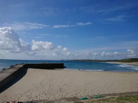
"5 Centimeters per Second" Pilgrimage Map

This is a pilgrimage map for the anime "5 Centimeters per Second." The locations are spread across a wide area, including Tokyo, Tochigi, and Tanegashima.

2026.05.13

·

Total ~1,113km

01

SPOT

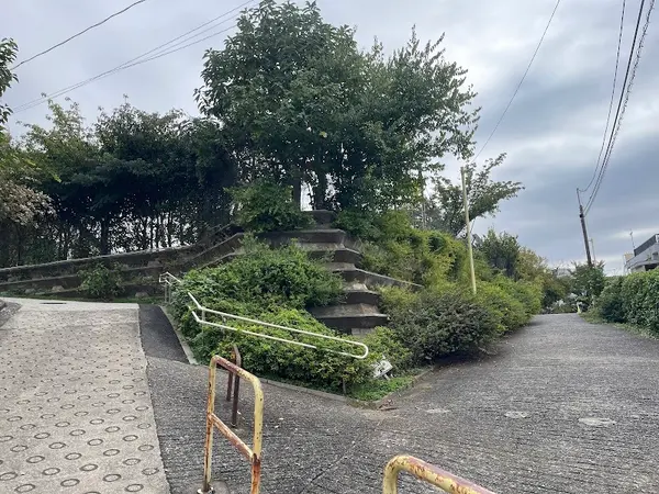
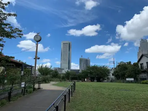
Sangubashi Park
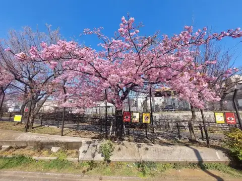
Sangubashi Park

Where the two walked together as children.

〒151-0053 東京都渋谷区代々木4丁目4−2

Google Maps
02

SPOT

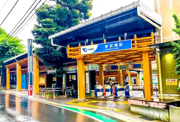
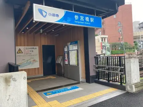
Sangubashi Station

Sangubashi Station

Featured in the opening and final scenes.

〒151-0053 東京都渋谷区代々木4丁目6

Google Maps
03

SPOT

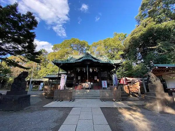
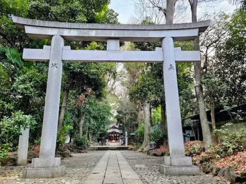
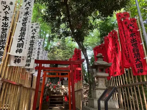
Yoyogi Hachiman Shrine

Yoyogi Hachiman Shrine

The spot where Takaki waited for Akari.

〒151-0053 東京都渋谷区代々木5丁目1−1

Google Maps
04

SPOT

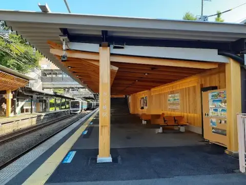
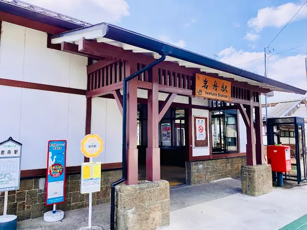
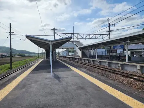
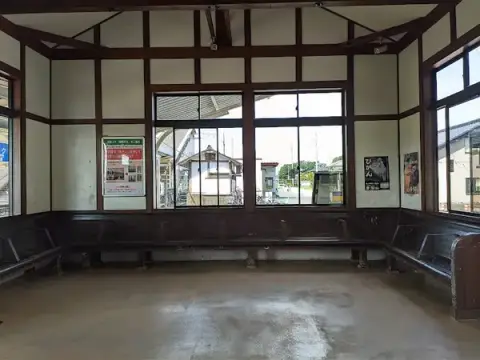
Iwafune Station

Iwafune Station

The station where Takaki and Akari reunited.

〒329-4307 栃木県栃木市岩舟町静

Google Maps
05

SPOT

Kagoshima Prefectural Tanegashima Chuo High School
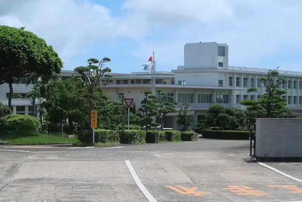
Kagoshima Prefectural Tanegashima Chuo High School
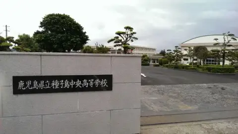
〒891-3604 鹿児島県熊毛郡中種子町野間4258−1

Google Maps
06

SPOT

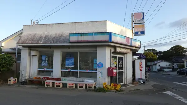
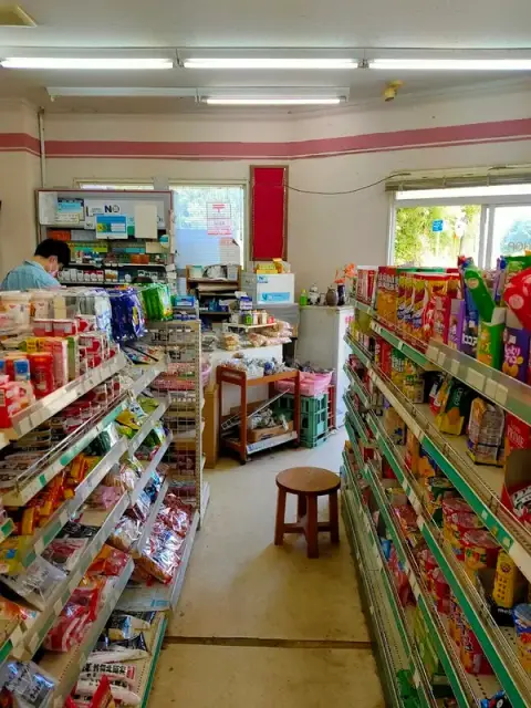
I-Shop Ishido

I-Shop Ishido

The convenience store Kanae visited almost every day.

〒891-3604 鹿児島県熊毛郡中種子町野間2172−1

Google Maps
07

SPOT

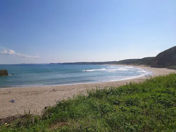
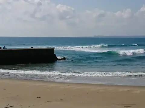
Nakayama Beach

Nakayama Beach

The beach overlooking the Space Center.

〒891-3604 鹿児島県熊毛郡中種子町野間 中山海岸

Google Maps
08

SPOT

Former Tanegashima Airport Site
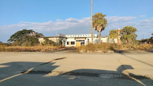
Former Tanegashima Airport Site

〒891-3604 鹿児島県熊毛郡中種子町野間

Google Maps

sampo.

What map would you make?

No account needed · free · ready in a minute

Start from scratch →